
Continental Divide Trail
Slack-Pack / Shuttle
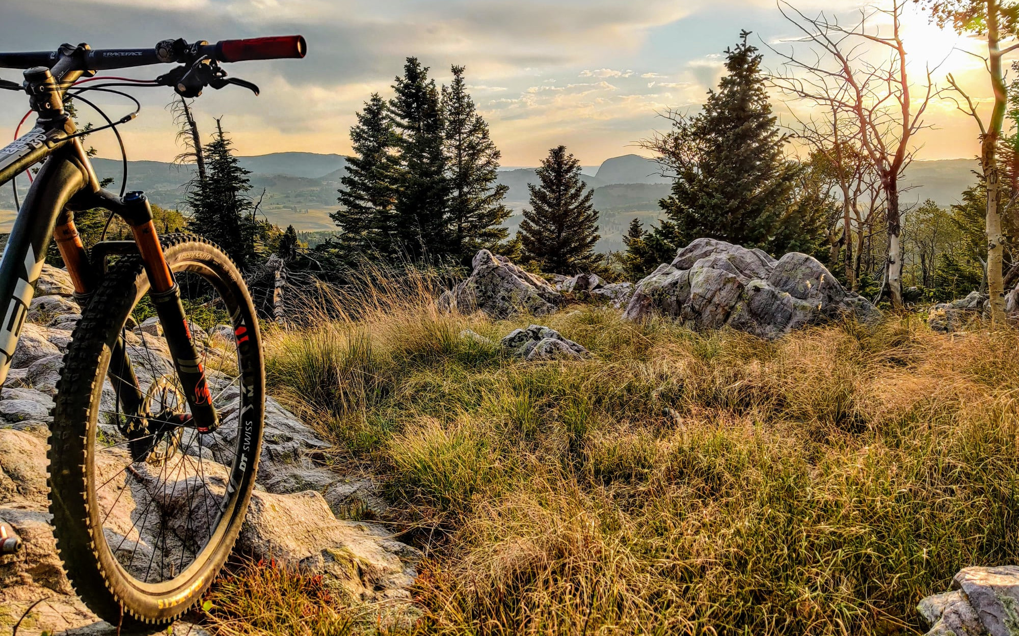
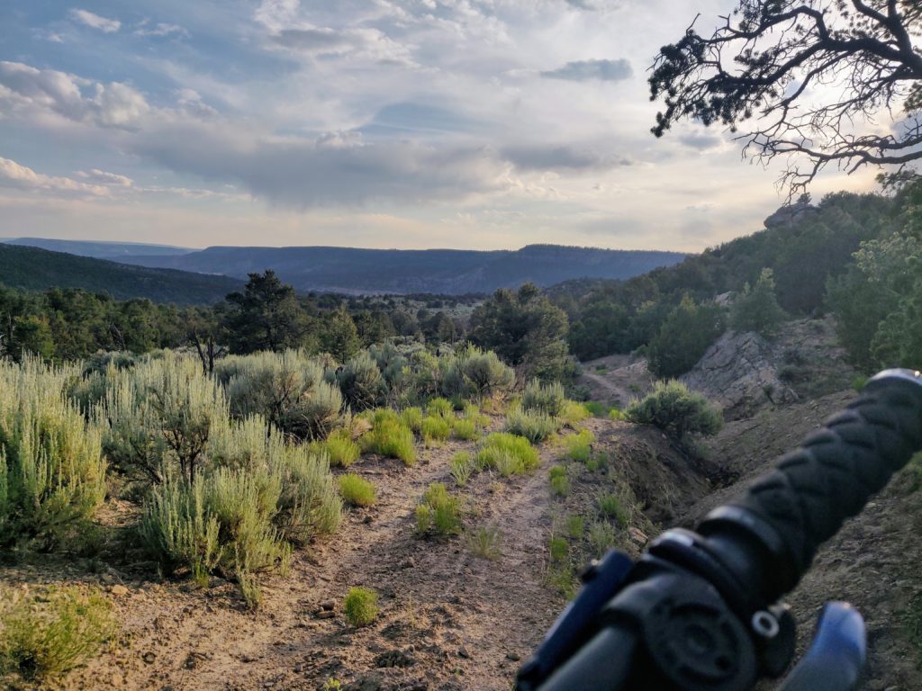
The Carson Continental Divide Epic is quite possibly the longest, most spectacular section of ride-able single track on the entire Continental Divide Trail.
It shares much of its route with the Chama Charmer, but rather than bail onto gravel and paved roads for a 32-mile spin to Ojo Caliente, the full Epic keeps you on the high mesas before descending the Martinez Canyon trail to Hwy 84.
Whichever you choose, Shuttle Taos can provide the support you need to make your multi-day epic a breeze.
Choose Your Adventure
Slack-Packer Special
(aka: spot-pack)
All of the glory, less of the pain.
We carry your gear. You ride your bike. Easy.
How it works:
1) You load our trailer up with your tents, chairs, equipment, and cold beer.
2) We drive the trailer to one of the 3 campgrounds strategically placed 20-25 miles along the Carson Continental Divide Epic.
3) You arrive at that camp after a glorious day of riding and collect your gear out of the trailer, ready to live LARGE.
4) The next morning, you pack everything back in the trailer and head down the trail without a care in the world — and with very little weight.
Self-Supported Sufferfest
(aka: bikepacking shuttle)
Maximum effort, maximum reward.
We get it… You love the freedom of having everything on your bike. You’ve considered each ounce, cut the handles off your toothbrush, and got your custom-made frame bag organized after agonizing over whether to pack one spare tube or two.
You’re ready to take over the world, and we’re here to help.
We can run you a shuttle in whatever configuration you need to make your Continental Divide Trail adventure a success.
We can even bring you a spare tube if you need it.
Slack-Packer Special
Also referred to as “Luggage Transfer” or “Spot Packing,” we haul your gear to each campsite so you can enjoy your self-guided ride with nothing but what you need for the day.
What’s Included
- Daily gear transfer from your start point to end point via trailer.
- Refill water containers and ice in your coolers.
- Campsite reservations (where available).
- Satellite communication with driver in case of emergency (inReach).
- Emergency pickup / gear delivery if you need it en route (incurs extra charge).
Pricing
The full 4-day, 3-night slack packer special starting in Cumbres Pass and ending at Martinez Canyon (near Abiquiu)
| 1-4 People | $2800 |
| Each additional person | $500 |
• We try to limit to 7 people total due to weight considerations, but can accommodate more if needed.
• We love to accommodate changes to the itinerary and duration, and can pro-rate the price accordingly. Contact us to explore options.

Want a Guide?
We have expert guides who know these trails like the back of their hand. Hell, some of them even built the damn thing! You can add a guide to get insider information on the route, provide assistance with issues, and help ensure your trip runs smoothly. (Note, guides do not assist with camp life, you’re still on your own for that).
Self-Supported Sufferfest (aka Bikepacking)
What’s included
- Reliable transportation from your vehicle to the start of your journey.
- Emergency pickup / gear delivery if you need it en route (incurs extra charge).

Pricing
Price varies based on start / end location. We can pick you up and drop you pretty much anywhere (including Santa Fe and Albuquerque airports).
Example one-way shuttles:
| Martinez Canyon to Cumbres Pass | $445 for up to 4ppl + $45 each additional |
| Ojo Caliente to Cumbres Pass | $450 for up to 4ppl + $45 each additional |
| Ghost Ranch to Cumbres Pass | $455 for up to 4ppl + $45 each additional |
| Santa Fe to Cumbres Pass | $555 for up to 4ppl + $55 each additional |
| Albuquerque to Cumbres Pass | $790 for up to 4ppl + $75 each additional |
This is just a sample. We can pick you up and drop you off just about anywhere! Contact us to explore options.
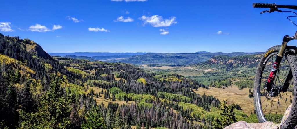
About The Carson Continental Divide Epic
We recommend tackling the Carson Continental Divide Epic from north to south, but honestly, either way, it is a beautiful thing.
In this direction, there are 3,000 more feet of descending than climbing, but it’s all fairly evenly distributed — except for the “10 Miles of Smiles Climb” out of Vallecito.
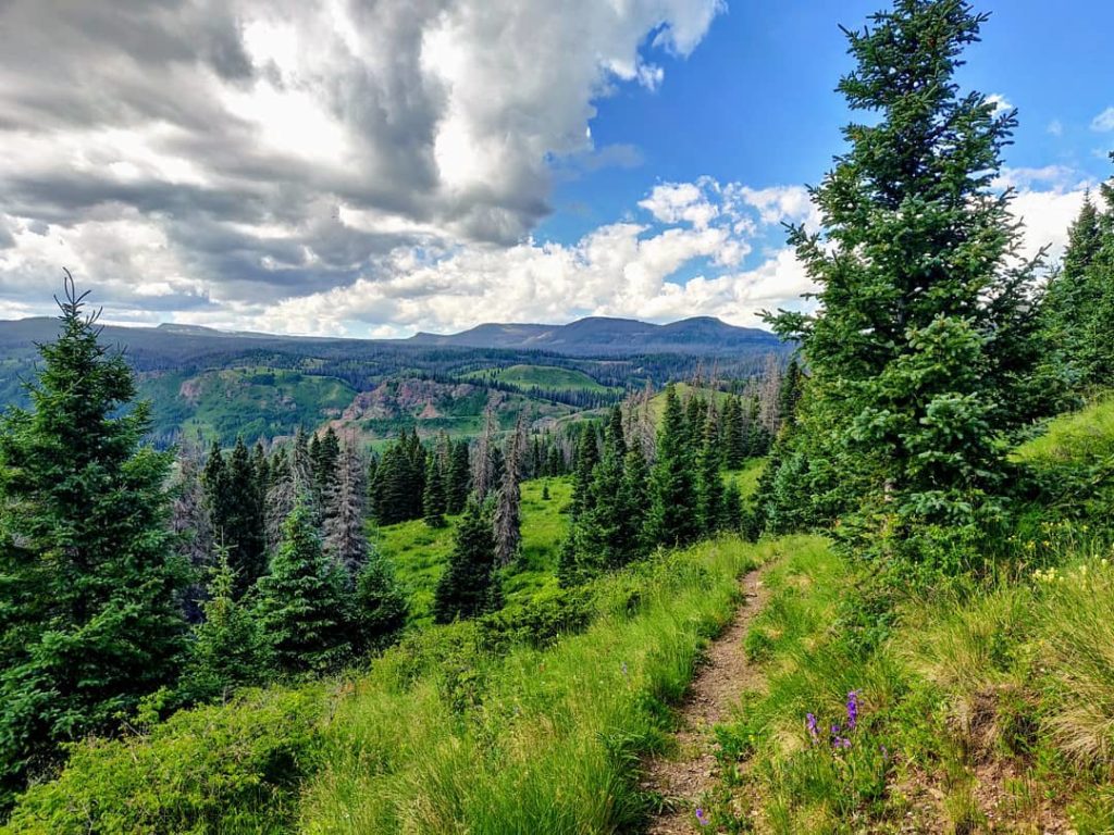
Re-routed over the last 10 years by a mountain biker, the Carson Continental Divide Epic is 90% trail, 10% forest road, 0.01% pavement, and 110% fun.
The climbs are approachable, the descents enjoyable, and the scenery takes in the best of northern New Mexico.
Our friends Syd and Macky attempted it in a single day.
We provide you an easier way.
Map
To keep on track, you’ll want to have Trailforks loaded on your phone. (Get 30% off a Trailforks Pro subscription by supporting the Enchanted Circle Trails Association who creates, maintains, and promotes our area trails for everyone’s benefit.)
Link to the full map: https://www.trailforks.com/route/carson-continental-divide-epic
Carson Continental Divide Epic on Trailforks.comSection 1: Cumbres Pass to Lagunitas Lakes
22 mi | 2933 ft climbing | 2336 ft descending
Starting from Cumbres Pass, the trail heads south of the highway switch-backing through the trees up to a ridgeline high above the Chama Valley. The Colorado-New Mexico border is three miles in. As the trail cuts through the forest, it winds around interesting rock outcroppings great for elk spotting before hitting a wide-open section of river valleys and rolling grassy hills. The final ridge above Cruces Basin Wilderness is epic — and also terrifying in a lightning storm. It also marks the start of the downhill roll into Lagunitas Lakes Campground.
Camping: Lagunitas Lakes Campground is primitive but popular among fishermen. Sites on the ridgeline have more privacy but more difficult access to the lakes.
Section 2: Lagunitas Lakes to Hopewell Lake
20 mi | 1870 ft climbing | 2578 ft descending
The highlight of this ride is the ridgeline above San Antonio Creek, roughly 6 miles south of Lagunitas. The cliff-edge trail provides a sublime view into the valley below — the valley you are about to descend into before climbing back out on one of the more challenging ascents. The rolling meadows as you approach Jawbone Mountain have a distinctive wild-west feel. Look for flocks of turkeys in the tree lines.
Camping: Hopewell Lake Campground has running water and vault toilets. It’s a short ride up the trail from Hopewell Lake but is situated on the edge of a lovely meadow.
Section 3: Hopewell Lake to Canjilon Lakes
23 mi | 2688 ft climbing | 2455 ft descending
This section has some of the more challenging segments of riding on the trip. Between the long technical descent to Vallecito Creek, and the even longer 10-mile climb back out, you’ll be worked. Hard. But the mountain top meadows and cool mixed conifer forests will quickly help you to forget your exhaustion.
Camping: Canjilon Lakes Campground is a developed campground with multiple spots available. Can get busy on the weekends.
Section 4: Canjilon Lakes to US 84 (Echo Amphitheater)
26+ mi | 1004 ft climbing | 4167 ft descending
This is it… the final leg of your epic journey. From a high of 10,100ft to an ending low of 7,000ft, this segment takes you from endless alpine meadows through mixed-conifer forests and ponderosa parklands to the pinyon-juniper deserts and arroyos. The trail ends unceremoniously at the Martinez Canyon Trailhead on highway 84, but a few more mile on pavement takes you to Echo Amphitheater or Ghost Ranch.
Camping: Echo Amphitheater has a developed campground, while Ghost Ranch (if available) has nicer amenities.
The Chama Charmer Option
For those who prefer to round off their epic single-track with a 32+ mile gravel/pavement grind to an upscale hot springs resort at Ojo Caliente, the Chama Charmer featured on bikepacking.com might be your jam.
3 miles into Section 4 above, instead of continuing on the CDT, the Chama Charmer route follows the road down Canyon Largo to the town of El Rito and on to Ojo Caliente where you can soak your bones in their mineral pools.
We don’t judge. We just help you maximize either route.
Frequently Asked Questions
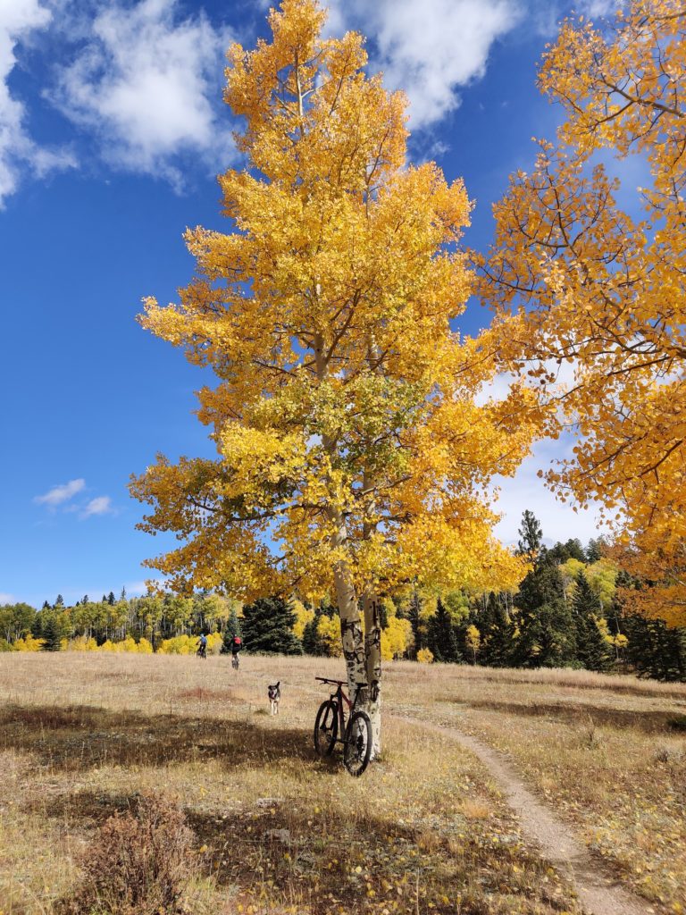
Any time between snow-melt and snow-fall. The higher elevation keeps the trial cool all summer long. However, the best time of year to ride this trail is from the middle of September through the middle of October, after the monsoons have passed and the aspen leaves are popping.
This is a cross-country single-track trail interspersed with a few double-track roads. It comes with roots, rocks, ruts, and all the things that make for a diverse single-track experience. We recommend a cross-country or trail bike. While we have had some folks do this on gravel bikes, we can’t in good conscience recommend that. It is a long, sometimes rough trail. You’ll be happier with some suspension.
As long as you want! I mean, the whole thing goes from Canada to Mexico, but the section we service is ~95 miles, all told.
We’re here for you. There are multiple places you can bail out if you have a mechanical or just get tired of riding. (There will be an additional fee for unscheduled rescues.)
We don’t like to play favorites, but if forced to, we’d pick the section between Lagunitas Lakes and Hopewell Lake. It is only slightly more awesome than Cumbres Pass to Lagunitas.
Almost certainly. Let’s talk.
Absolutely! We understand and wholly embrace that some folks love to do things the hard way. We’re some of those folks. Whether you’re backpacking, bike-packing, or tackling the whole thing in one day, we’ve got your transportation and logistics dialed.
Sorry, no. The latest National Forest policy does not allow using e-bikes on non-motorized trails. That being said, there are parallel routes that remain on motorized roads. Contact us if you’d like to explore these options.
That’s largely a matter of taste. Do you like to maximize single-track time? Or prefer to let your inner roadie whisk you away to steaming hot pools of bliss? Either way, we’re here for you.
Continental Divide Booking Policies
- Bookings require a 20% non-refundable deposit.
- Full payment due 30 days before trip start.
- Price does not include driver gratuity.
Cancellation Policy
- Cancellations within 30-14 days of trip start will be refunded at 50% of total cost.
- No refunds are given for cancellations within 2 weeks of the trip start date.